Cambridge Researchers Use AI and Satellite Data to Map Hedgehog Habitats
Background
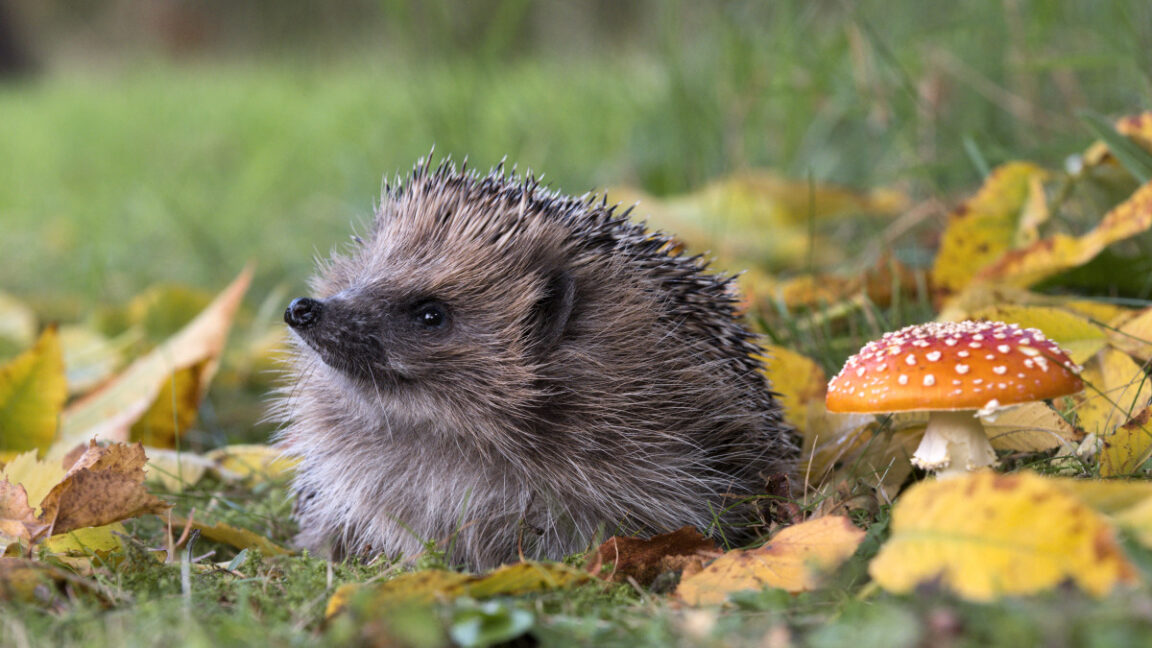
European hedgehog numbers have fallen by roughly 30 to 50 percent over the past decade, prompting urgent calls for better monitoring methods. Conventional surveys rely on extensive nighttime fieldwork, specialized equipment, or citizen reports, all of which are costly and difficult to scale nationally.
Research Approach
At the University of Cambridge, researcher Gabriel Mahler and colleagues Sadiq Jaffer, Anil Madhavapeddy, and Shane Weisz have shifted focus from tracking the animals directly to detecting the bramble patches hedgehogs use for shelter and foraging. Their AI model scans satellite imagery—specifically data from the European Space Agency’s Sentinel satellites—to locate these dense, thorny shrubs.
The model employs relatively simple machine‑learning techniques, combining logistic regression with k‑nearest‑neighbors classification. It also integrates TESSERA earth‑representation embeddings, which process the raw satellite data, and ground‑truth observations sourced from iNaturalist, a citizen‑science platform.
Field Validation
To test the model’s accuracy, the research team spent a day walking around Cambridge equipped with smartphones and GPS devices. They compared the AI’s predicted bramble locations with what they observed on the ground. The walk‑about confirmed that many of the model’s predictions matched actual bramble patches, demonstrating that satellite‑based detection can reliably identify key hedgehog habitat features.
Implications for Conservation
Satellite imagery offers continuous, wide‑area coverage, making it a powerful complement to traditional survey methods. If the AI can consistently pinpoint bramble habitats, conservation planners could rapidly assess habitat availability across large regions without the need for labor‑intensive fieldwork.
This approach also highlights the potential of combining modest machine‑learning models with publicly available data sources. By leveraging existing satellite assets and citizen‑science contributions, researchers can create cost‑effective tools that support large‑scale biodiversity monitoring and inform habitat protection strategies.
Usado: News Factory APP - descoberta e automação de notícias - ChatGPT para Empresas